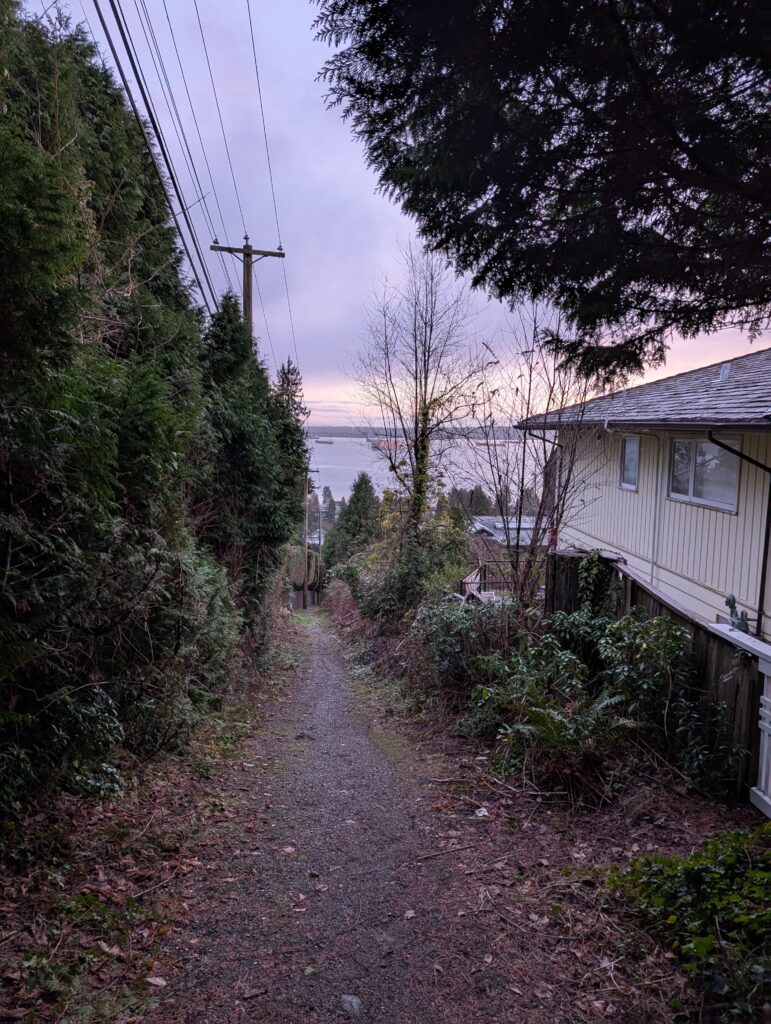
This loop is moderate difficulty with only short-lived truly challenging sections – enough to get the full experience without having to go to a dark mental place. The climb up to Cleveland dam uses a combination of quiet residential streets and trail connectors that become too steep to ride at times. The final stretch is along gravel service road and most pleasant, bringing the elevation gain to about 200m.
Unfortunately, the next 200m is climbing the affluent residential roads of the British Properties; this is a challenging bit but worth the trouble. Nothing wrong with walking and taking breaks. Traversing Millstream Rd, the trail eventually appears and leads along a relatively flat, well cared for path popular with dog walkers.
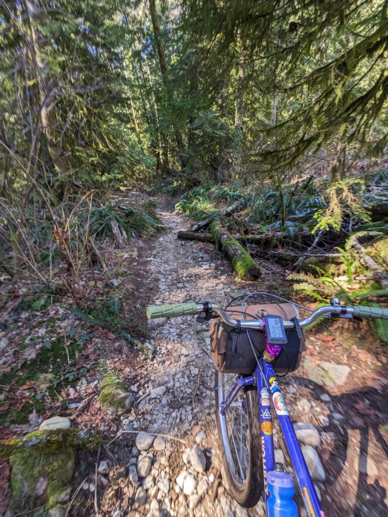
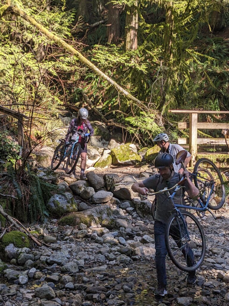
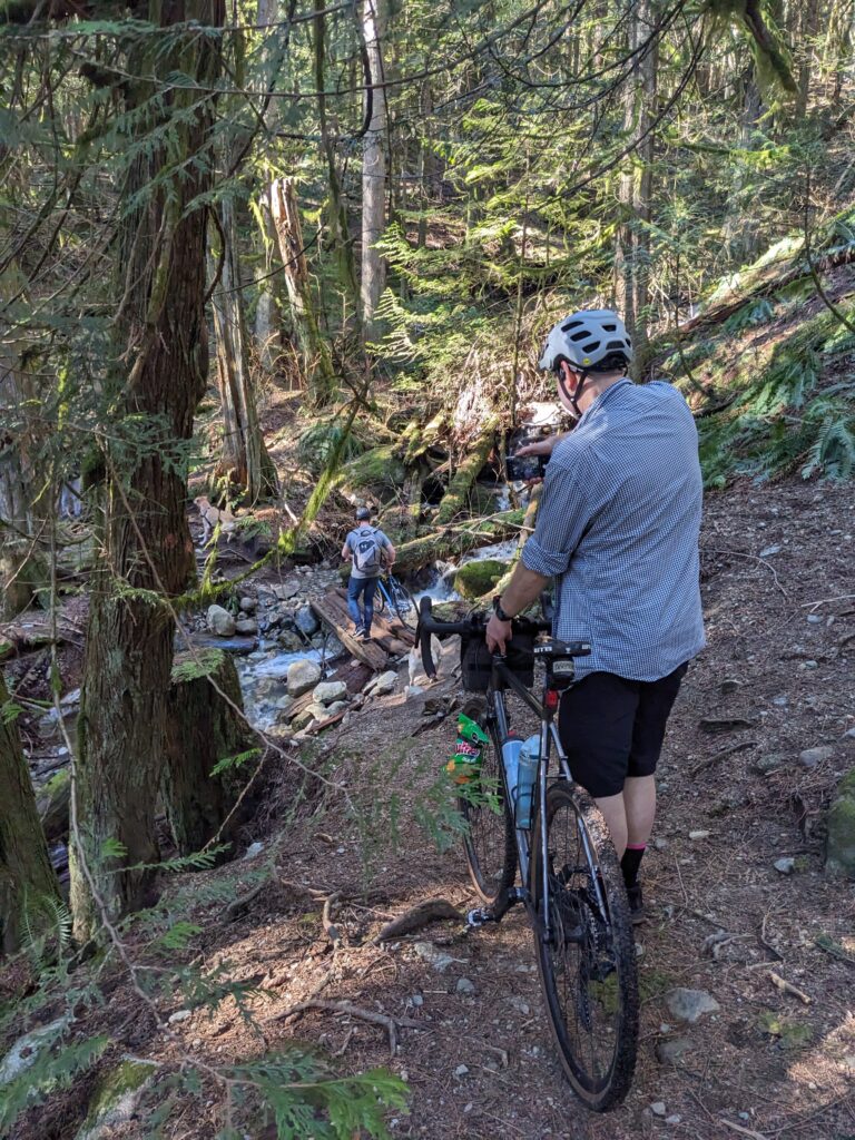
If you’ve never been on Millstream trail, you’re in for a surprise as you near the Cypress Bowl Rd hairpin – what has been an entirely reasonable trail for the first while suddenly takes a turn, sending you across a gulley and creek crossing.. only to send you into a much bigger and more scramble-like second one. Having a friend available to help you with your bike down the steepest bit might be helpful.
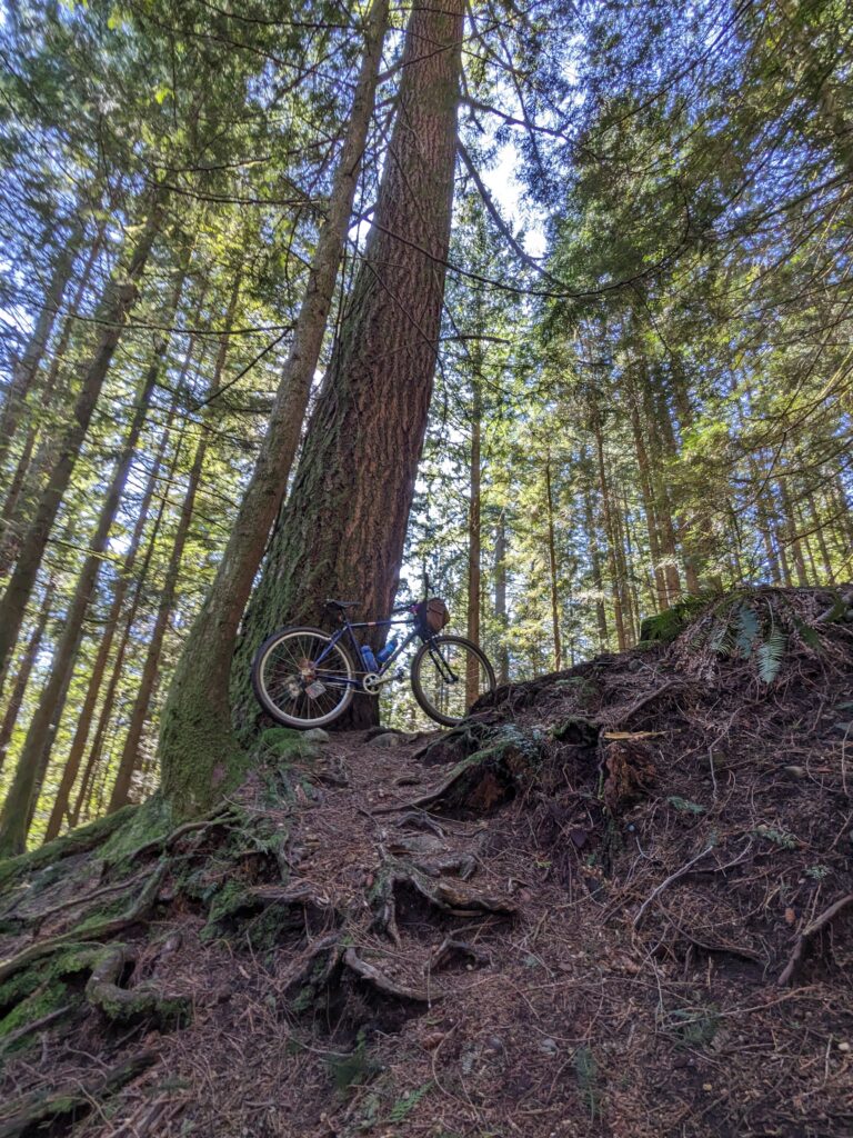
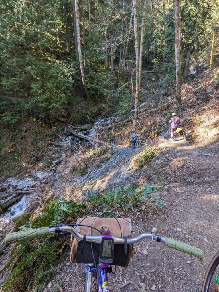
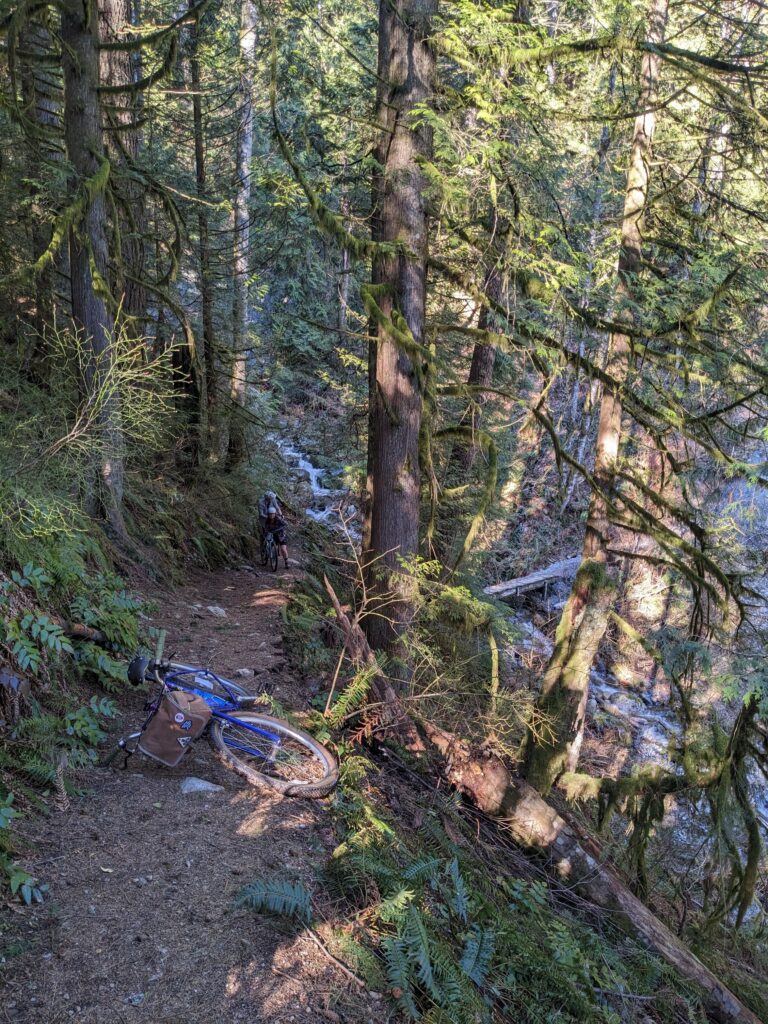
Almost immediately after the big ravine, you pop out at the hairpin along Cypress Bowl Rd right by the lookout, which makes a natural spot for a bathroom break and a snack. After this comes the sneakiest part of the route: back around the barricades at the hairpin, two trails lead downhill: the left is Stupid Grouse, the right is the trail you want. It winds to the west, under the lookout, through some deciduous trees before aligning itself along the east bank of Marr Creek until you’re dropped onto Chippendale Rd.
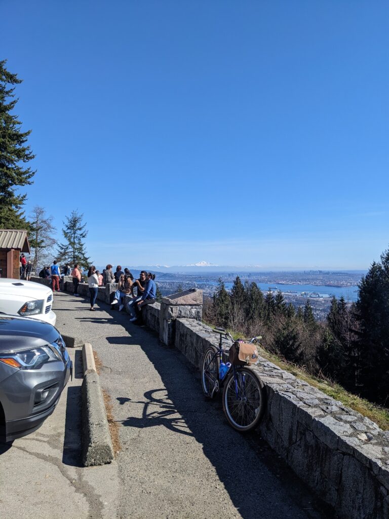
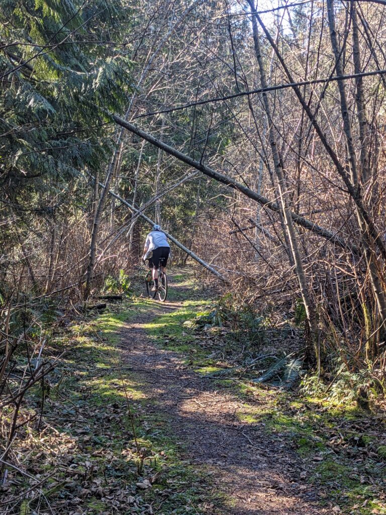
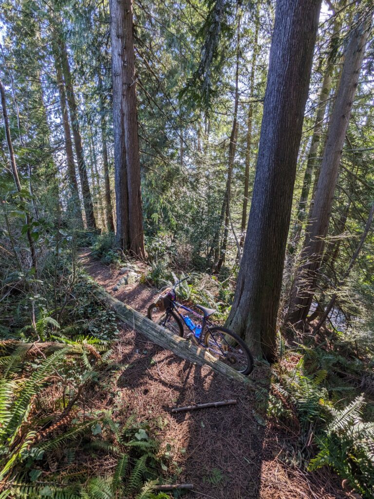
A quick traverse along Chippendale (downhill!) leads to the lovely paved Mountain Path that winds through the forest. There is a more popular, similar path to the north as well. This one ends abruptly but right before that is a cheeky lookout accessed by a small trail down the slope. This is an optional spur, but a great spot to rest for a bit.
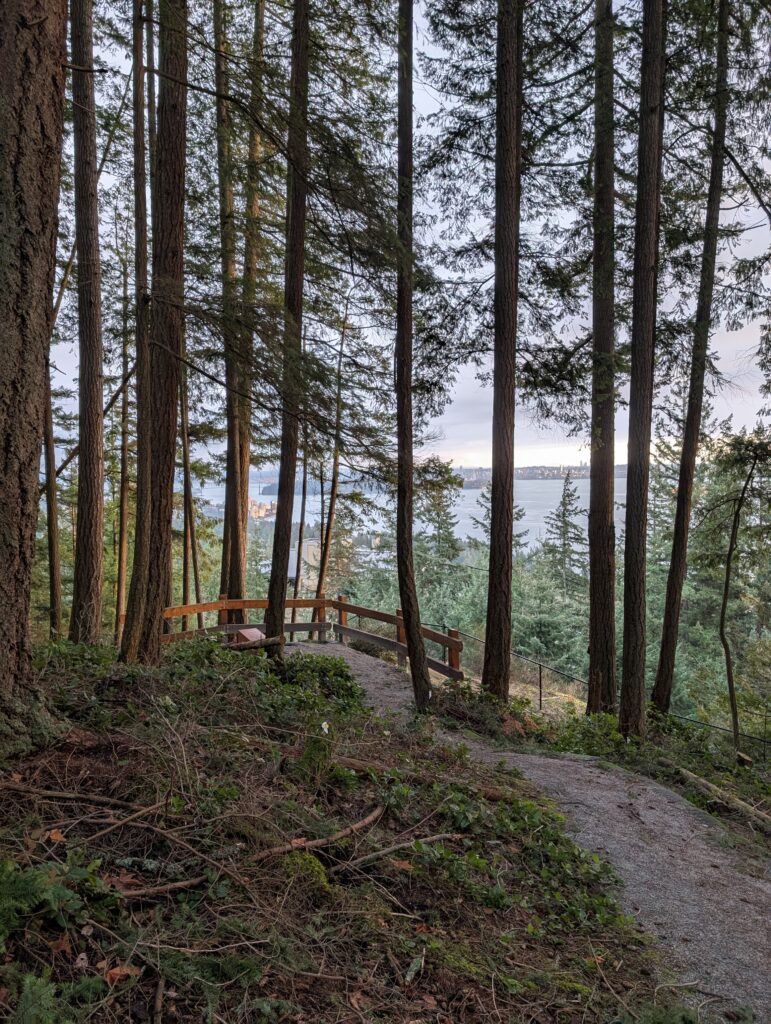
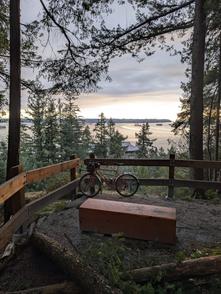
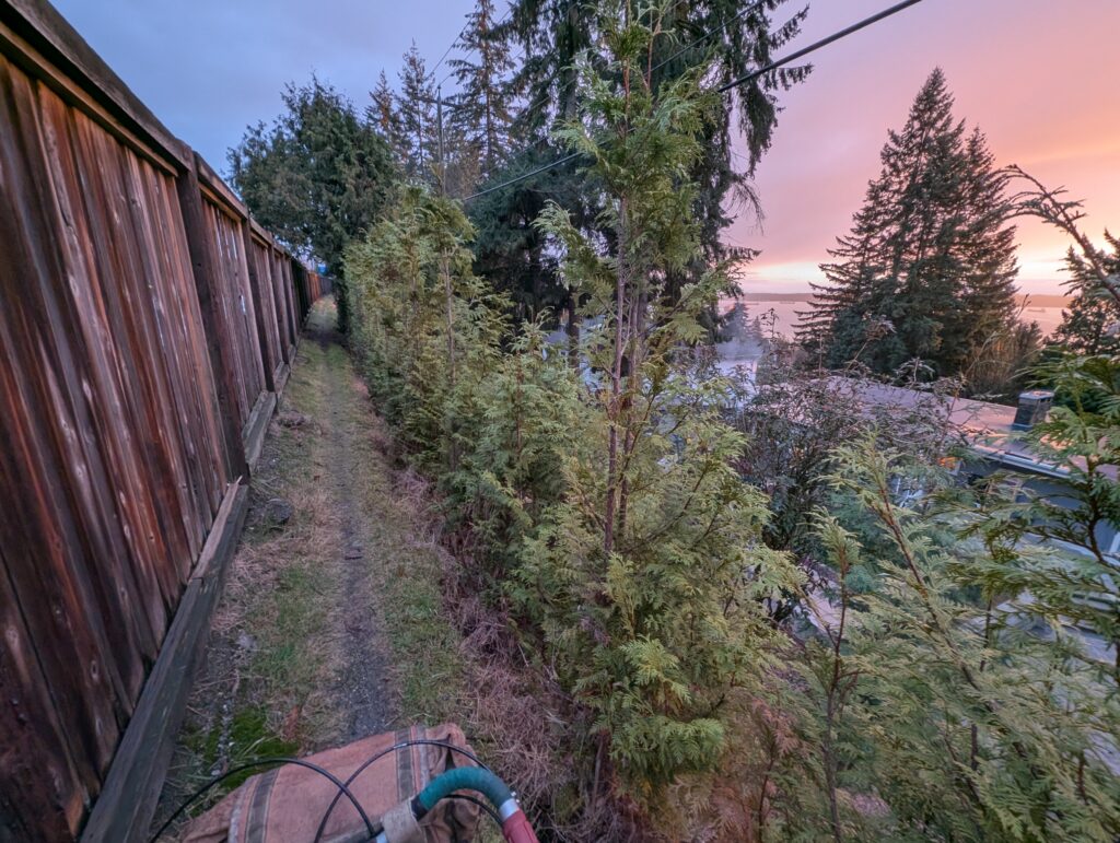
From here, a side trail descends rather steeply along cheeky little trails until you’ve spilled out onto Cypress Bowl Rd just above the highway. While not a pleasant road to ride, time spent on this road is brief – once over the highway overpass, the path presents itself on the opposite side of the barrier, leading to a gem of a fence line. Note that sections of this fence line are narrow with a steep drop to the side, so you may wish to take it easy though here.
The next few connections can be easy to miss but they link up wonderfully with just a sprinkling of stairs. A few blocks of descending gravel paths, then a bit of pavement on quiet streets, and then a bit more gravel path before ending up along the water for the rest of the way back to the bridge.
